
Drone Site Surveys Northern Ireland
Aerial site imagery for CCTV planning, wireless links, farms, construction sites, roofs and commercial property
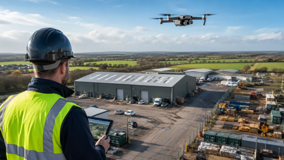
Understanding a site from above changes how a CCTV or network installation is planned. Titan uses drone imagery to assess larger, complex or difficult-to-access sites before designing camera positions, wireless link routes or network infrastructure. This service is also available standalone for construction progress documentation, roof inspection imagery and commercial aerial photography.
CCTV Site Survey and Planning
For sites where ground-level assessment alone is not enough, aerial imagery helps identify:
- Site boundaries, entrances and exits
- Perimeters and fencing lines
- Blind spots and coverage gaps
- Potential camera mounting positions
- Yard and building layout from above
- Obstructions that affect camera angles
Annotated aerial images can be included with quotations and design proposals, giving the customer a clear picture of what is being recommended and why.
Point-to-Point Wireless Survey Support
When buildings need to be connected wirelessly, line of sight between mounting points is critical. Drone imagery supports this assessment by showing:
- Roof and building visibility between proposed link endpoints
- Possible radio and antenna mounting locations
- Trees, buildings and terrain that may obstruct the path
- Multi-building site layouts
Drone imagery can support line-of-sight and mounting-position assessment. Final wireless design must also consider distance, Fresnel clearance, RF conditions, interference and equipment selection.
Farm and Rural Surveys
Farms often have multiple buildings spread over a wide area. Aerial imagery helps plan:
- Camera positions covering sheds, yards, gates and lanes
- Calving and lambing building coverage
- Machinery storage and fuel tank visibility
- Remote building access for wireless links
- Cable or wireless routes between buildings
Roof and High-Level Visual Inspections
Aerial imagery provides a safe way to assess areas that are difficult or expensive to reach with scaffolding or ladders:
- Roof condition imagery
- Gutter and drainage visibility
- Chimney and antenna locations
- Existing camera or equipment positions
- High-level mounting points for new equipment
This is aerial visual inspection imagery. It is not a structural engineering survey.
Construction Progress
Repeat drone flyovers provide documented visual evidence of construction progress. This can be useful for:
- Before and after site imagery
- Progress photography and video at agreed intervals
- Perimeter and site-security overview
- CCTV survey planning for temporary or permanent systems
- Contractor and project documentation
Commercial Aerial Photography and Video
Standalone aerial imagery for commercial, industrial and agricultural clients:
- Property and estate overview
- Industrial site documentation
- Farm and land overview
- Business promotional footage
- Contractor evidence and reporting
Deliverables
Depending on requirements, Titan can provide:
- High-resolution still photographs
- Short video clips
- Site overview footage
- Annotated images showing proposed camera or radio positions
- Before and after comparison imagery
- Repeat progress imagery for construction projects
Regulatory Information
Drone operations are carried out in accordance with applicable UK requirements and site-specific flight conditions.
Related Services
- Farm CCTV
- Business CCTV
- Construction Site CCTV
- Business Wi-Fi and Point-to-Point
- Network Cabling
- Request a Quote
Request a Drone Site Survey
Tell us about your site and what you are trying to achieve. We will advise whether a drone survey would benefit your project.